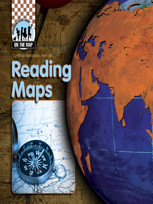
-
Creators
-
Series
-
Publisher
-
Release date
January 1, 2008 -
Formats
-
OverDrive Read
- ISBN: 9781617849350
-
PDF ebook
- ISBN: 9781604534238
- File size: 1356 KB
-
-
Languages
- English
-
Levels
- ATOS Level: 5.4
- Interest Level: K-3(LG)
- Text Difficulty: 4
-
Reviews
-
School Library Journal
October 1, 2008
Gr 3-6-Though coverage of this topic is needed by elementary students, the treatments here are disappointing. "Classifying" discusses 10 types of maps in 32 pages. "History" covers the development of maps, and exploration. "Reading" explains each part of a map and includes instructions for finding the U.S. Capitol on a map of Washington, DC, using the building's coordinates. One of the best features in the latter title is "Wonders of the World"pictures of some of these famous locations, along with their coordinates. The books are difficult to read. They should entice children to pore over the pages, spending time with the maps. Instead, readers are rushed from one new piece of information to another with little or no summarization, and no completion of concepts. The cartographic reproductions are too small to be of much use, though the accompanying photographs are beautiful. These books may have some use as ready reference tools for information on terms, parts, or types of maps but they are not enjoyable reading."Erlene Bishop Killeen, Stroughton Area School District, WI"Copyright 2008 School Library Journal, LLC Used with permission.
-
The Horn Book
July 1, 2008
Each of these volumes discusses a different aspect of maps, from their history to their creation to their uses. Though the series' scope is useful, the texts are dense, with much of the technical information only cursorily introduced. The maps themselves are quite small, and sidebars printed over light brown maps are difficult to read. Glos., ind.(Copyright 2008 by The Horn Book, Incorporated, Boston. All rights reserved.)
-
Formats
- OverDrive Read
- PDF ebook
subjects
Languages
- English
Levels
- ATOS Level:5.4
- Interest Level:K-3(LG)
- Text Difficulty:4
Loading
Why is availability limited?
×Availability can change throughout the month based on the library's budget. You can still place a hold on the title, and your hold will be automatically filled as soon as the title is available again.
The Kindle Book format for this title is not supported on:
×Read-along ebook
×The OverDrive Read format of this ebook has professional narration that plays while you read in your browser. Learn more here.


